
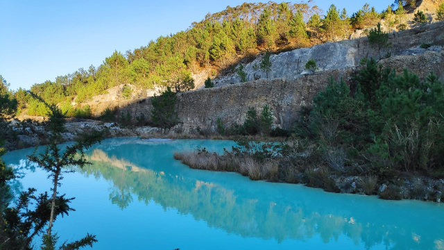
Euroarce Caolines is collaborating with the Spanish Geological and Mining Institute (IGME) and the Ministry for Ecological Transition and Demographic Challenge to analyze the stability of the Montecastelo mine in Burela, Cervo and Foz (Lugo) using InSAR satellite technology.
Last Wednesday, March 20, government technicians visited the kaolin mine site to check the satellite reflectors and make measurement adjustments.
The project includes the integration of Earth surface displacement data obtained from satellite radar images (InSAR) with geo-thematic layers, in situ observations and numerical models.
At the Montecastelo mine, now that the intense drilling campaign to investigate the mineral resource has been completed in recent years, work is being done on the modeling and characterization of the deposit, and on the design of the exploitation and rehabilitation project for the land, evaluating all the possible options.
This collaboration with the Ministry and the IGME, allows Euroarce Caolines to advance in the knowledge of the geotechnical mechanisms of Monte Castelo, and thus evaluate designs for exploitation with the highest safety coefficients.
Synthetic aperture radar interferometry (InSAR) has become an established technique for ground motion detection and tracking.
Hello, this is a proof text.