


Euroarce (Grupo SAMCA) is collaborating with the Geological and Mining Institute of Spain (IGME-CSIC) and the Ministry for Ecological Transition and the Demographic Challenge to analyse the stability of the Monte Castelo mining operation, located in Cervo and Burela (Lugo), using satellite-based InSAR technology.
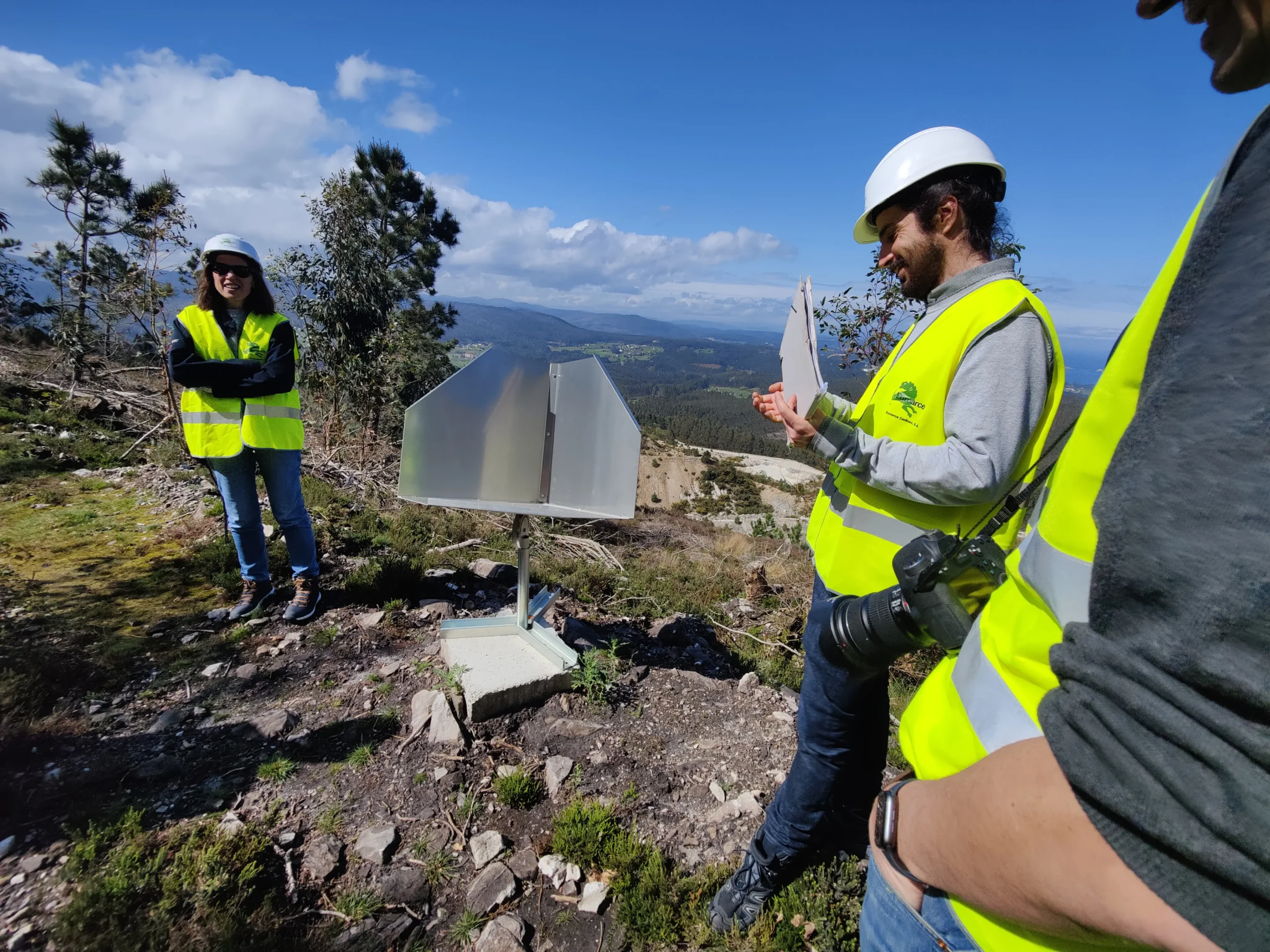
On Wednesday, 20 March, public administration officials visited the kaolin mine to inspect the satellite reflectors and carry out measurement adjustments.
The project involves integrating ground displacement data derived from radar satellite imagery (Synthetic Aperture Radar Interferometry – InSAR) with geo-thematic layers, in situ observations and numerical models.
At the Monte Castelo mine, following the completion of the intensive mineral resource exploration drilling campaign conducted in recent years, work is currently focused on modelling and characterising the deposit, together with the design of the mining and land rehabilitation project, evaluating all available options.
This collaboration with the Ministry and the IGME enables Euroarce to deepen its understanding of the mechanisms governing landslides and subsidence at Monte Castelo, and to asses mining designs in terms of potential ground surface displacement or deformation.
Synthetic Aperture Radar Interferometry (InSAR) is now a well-established and reliable technique for detecting and monitoring ground movements.